


Casse-Pattes
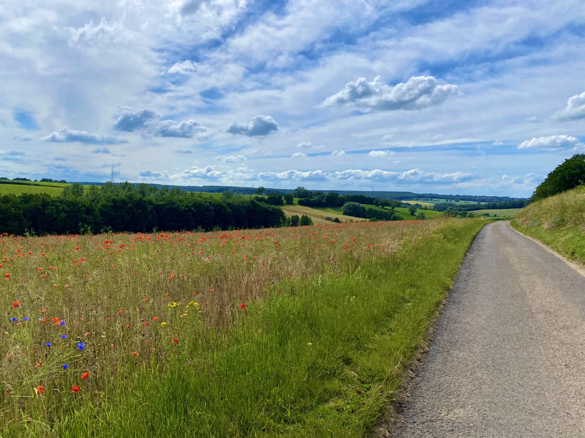

Permanent brevet · Road · 200 km · 2,700 m+
The best of the Brabant Ardennes.
Casse-Pattes, the leg-breaker: as the name says, it was designed to break your legs.
It is the union of the two Brabants, Flemish and Walloon. A story of champions, of hills, of cobbles, and of bucolic climbs too.
An introduction to long distance, Casse-Pattes can be seen as the little brother of the Conquest of the Ardennes.
Nothing to envy the Ardennes of Liège or Luxembourg: the Brabant Ardennes will hit your calves, take your hips apart, and leave you grimacing.
The route · Flemish Brabant, Walloon Brabant
Two Brabants. One loop.
Casse-Pattes links two areas with strong identities: one ridden by the Brabantse Pijl, the other less known but just as worthy: Ittre, the climbing hub of the Brusseleirs.
On the route, that makes four zones: the hills of the Pijl, the Dyle valleys, the Giro di Ittro, then the climb back to the Sonian Forest. 43 sectors in all, climbs, cobbles and tracks, listed below.
The story · zone by zone
From the hills of the Pijl to the Giro di Ittro.
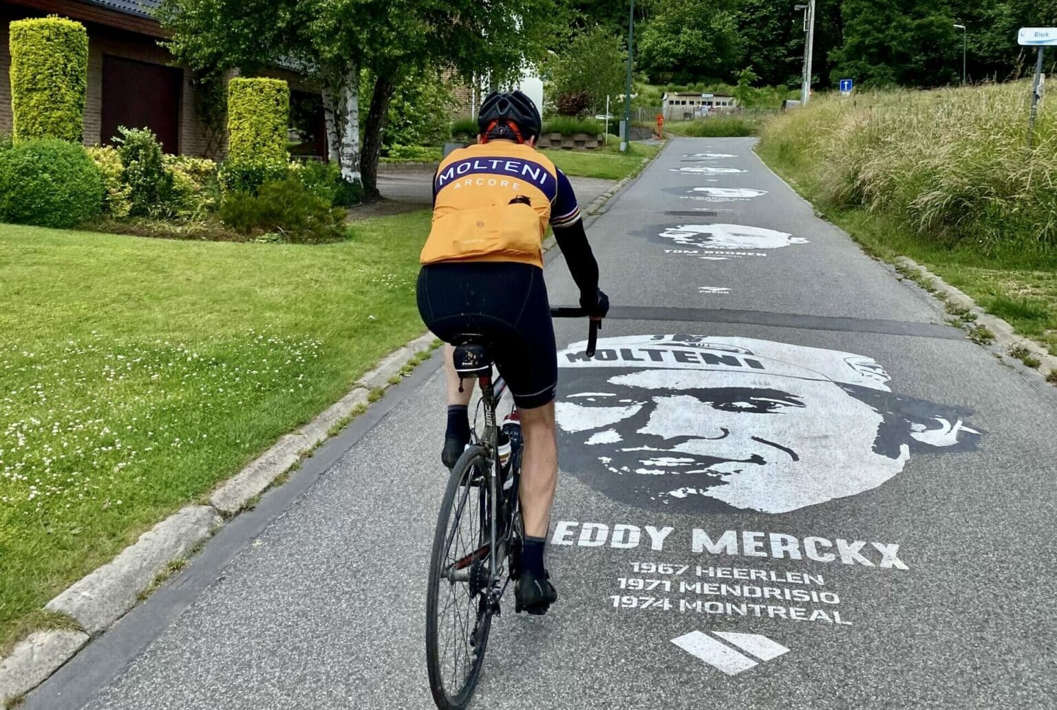
The Druivenkoers, the Brabantse Pijl, and even the UCI World Championships ride these roads south-east of the Belgian capital. Hagaard, Moskestraat, Smeysberg: these names surely give you itchy legs.
You set off on the edge of the Sonian Forest, in Sint-Genesius-Rode. Hoeilaart, Overijse, and things get serious: the Hagaard and its 17% ramps, two kilometres of cobbles on the Mommaertstraat, the Moskestraat, cobbled too, then the Smeysberg, 18% at its steepest. The route then drops to the Dyle, at 27 m: the lowest point of the loop.
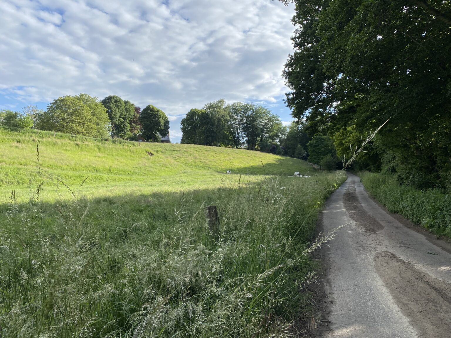
Grez-Doiceau, Chaumont-Gistoux, Wavre. The climbs get longer: the Rue de Pécrot, the Allée de Bercuit, the 4 Sapins. Then the Mur de Wavre, 500 m at 10% on average.
Rixensart and Lake Genval, the cobbled Vieux Chemin de l’Helpe, then Lasne: the Chemin des Pèlerins, an unpaved track, runs straight into the Pavés du Gros Vélo. The Rue Là-Haut (“Up There Street”) lives up to its name. Braine-l’Alleud is close, and the Lion’s Mound not far off.
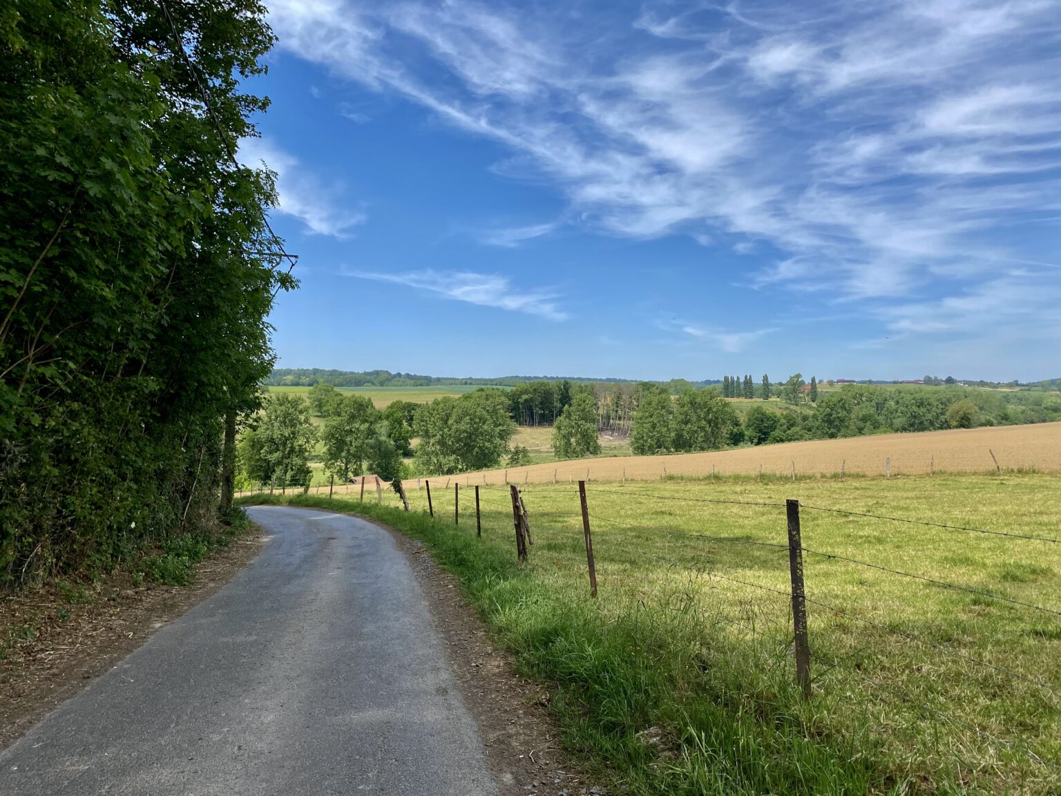
On the other side, Ittre. Or rather: Giro di Ittro. Ittre is the hub of many punchy climbs along the Brussels-Charleroi canal. Far too rarely ridden, these hills deserve our full attention. We are not allowed to neglect them.
The Bois de Samme, the Bardé and its 20%, Fauquez on the canal bank, the Basse Hollande. The Mur du Tombois passes close to the Ronquières inclined plane, then the loop reaches its highest point, 164 m, at the top of the Avenue de la Hetraie. Then come Mon Idée, Charly des Bois, Mon Plaisir (“My Pleasure”): the names are gentle, the gradients far less so. The Rue du Masy, 17% at its steepest, closes the zone.
The Côte Mathias, 3.2 km, the longest of the route, then Halle and the Senne valley. The Dr. Spitael and the Warande, the Bruineput and its 16%, the Wouterstraat, a track, the Côte des 7 Fontaines, the Bronstraat.
The last one, the Avenue de la Libération, brings you back to Sint-Genesius-Rode. 200 km, 43 sectors, two Brabants. Legs well and truly broken.
The 43 sectors
Climbs, cobbles and tracks.
The organisers’ survey, from first to last: length, average gradient and maximum gradient. Distances from the route.
How it works · permanent brevet
Your Casse-Pattes, on the day you choose.
You choose the day and the place you start. The clockwise direction is mandatory.
Register
Registration is on njuko. You receive the .gpx file of the full loop.
Choose your day
Any date, clockwise direction mandatory. Suggested start at the Sonian Forest car park in Sint-Genesius-Rode (Avenue de la Forêt de Soignes, Chaussée de Waterloo).
Ride
Alone or with friends, self-supported or with assistance, on roads open to traffic: the highway code applies.
Get it validated
Send your Strava activity and its link to homologation@resistandride.cc. Your name joins the hall of fame.
Registration includes
- The .gpx file
- An embroidered Casse-Pattes patch
- A diploma
- Your name in the hall of fame
On the road
Casse-Pattes is not a one-day event: it is ridden on roads open to traffic. The Belgian highway code applies. Wear visible clothing and carry enough lighting if you ride early or late in the day, or in poor conditions (fog, rain, low visibility).
Riding the route is entirely your choice, and entirely your own responsibility. Only set off if you are fit and in good health, and adapt your speed to the circumstances (traffic, built-up areas, roadworks, weather).
Landmarks
Hall of fame
They survived the 43 sectors.
Every validated loop puts its rider in the hall of fame, with total time and riding time.
- Victor de Terwangne17.02.2024 · total 7h 41m · riding 7h 18m
- Gilles Geerts17.02.2024 · total 7h 41m · riding 7h 17m
- Christophe Jaumotte12.03.2024 · total 10h 06m · riding 9h 05m
- Pierre Parret12.03.2024 · total 10h 01m · riding 8h 52m
- François Gilson12.03.2024 · total 10h 00m · riding 8h 54m
- Sylvain Libert12.03.2024 · total 10h 00m · riding 8h 50m
- Louis Roucourt20.04.2024 · total 11h 28m · riding 10h 05m
- Marie-Eve Rebts08.08.2024 · total 11h 16m · riding 9h 41m
- Maximilien Michiels01.05.2023 · total 9h 23m · riding 8h 18m
- Jean-Pierre Fauconnier06.05.2023 · total 7h 36m · riding 7h 13m
- Alexandre Buche04.06.2023 · total 9h 55m · riding 8h 36m
- Xavier Rixhon15.07.2023 · total 8h 34m · riding 8h 10m
- Cédric Libbrecht30.07.2023 · total 8h 40m · riding 8h 05m
- Cédric Dufey20.08.2023 · total 7h 51m · riding 7h 21m
In pictures · Casse-Pattes
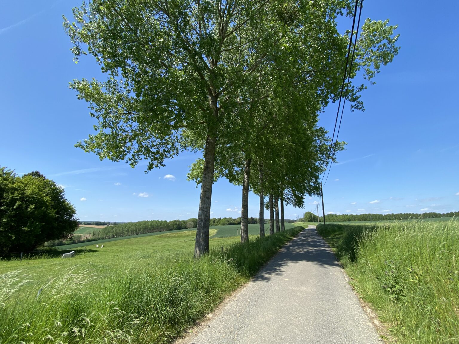
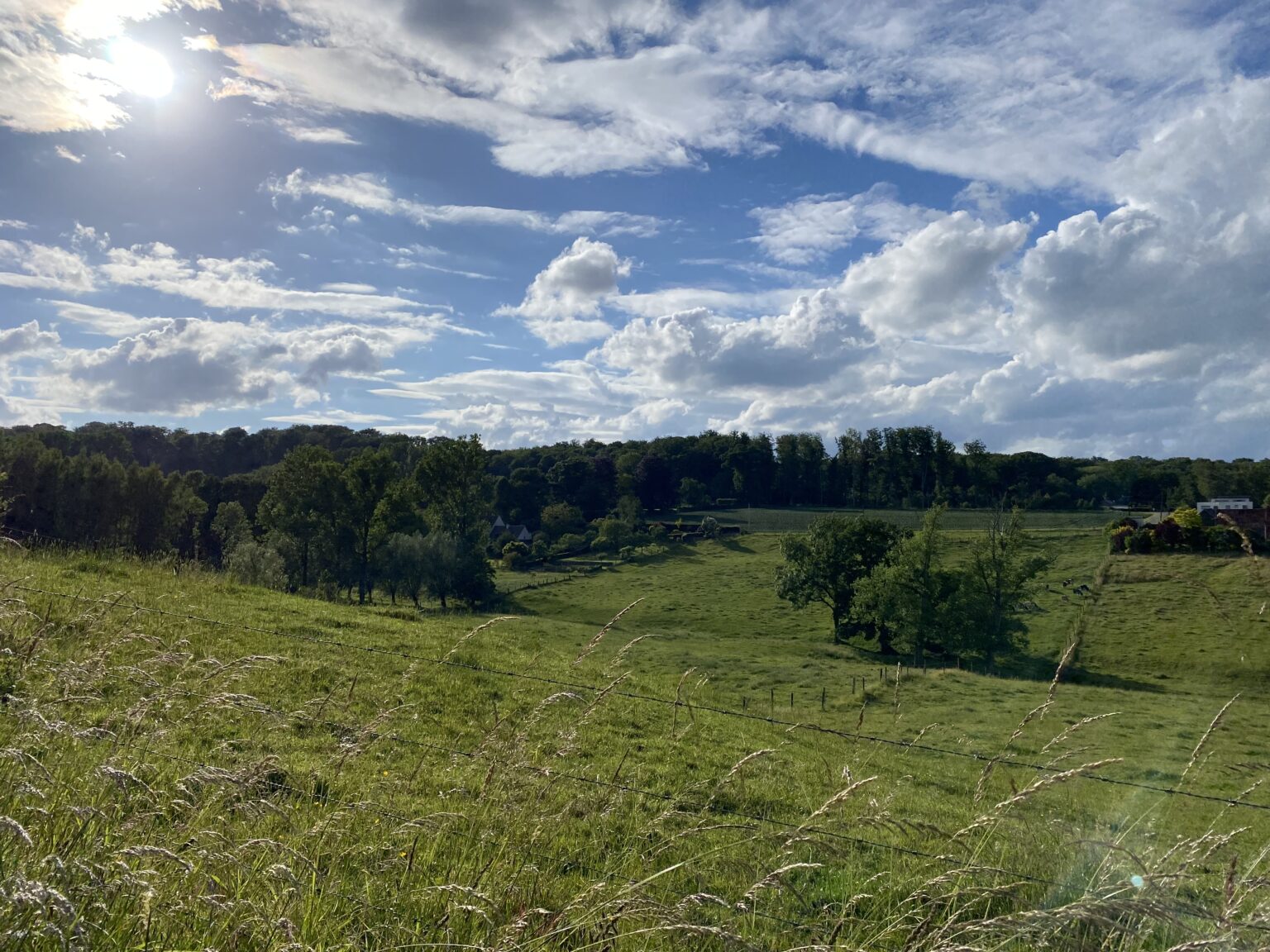
Hills, cobbles and fields as far as the eye can see.
Resist & Ride brevets
Four loops. All year round.
Ready to get your legs broken?
200 km, 2,700 m+, 43 sectors, two Brabants. The day you set off is yours to choose.