
Flemish Brabant · Overijse (Terlanen)
Moskesstraat
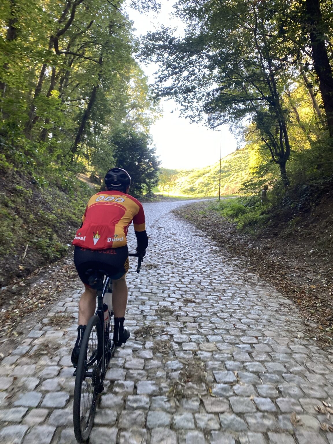
A cobbled sunken lane that saves the worst for last.
The profile
Metre by metre.
Elevations from the Flemish laser survey (1 m accuracy), one point every 5 m; gradient computed over 25 m sections. Hover or touch the profile to read the gradient anywhere.
| Section | Length | Gradient |
|---|---|---|
| Approach · Molenstraat → Abstraat | 140 m | 3% |
| Abstraat → Daleborreweg | 225 m | 5.1% |
| Daleborreweg → halfway | 128 m | 6.3% |
| The wall → Bollestraat 17% over 50 m, 18% at the steepest | 198 m | 14.2% |
The climb
A must-ride around Overijse. Since 2020 the Moskesstraat has been part of the Brabantse Pijl finale, and the 2021 World Championships came through too.
You start at the bottom of Terlanen, on tarmac, between the world champions painted by the Puncheur collective. It climbs gently, around 5%, and that is where the trap is set: go too hard here and the rest will feel endless.
At Daleborreweg the cobbles take over. Relaid in 2021, they ride well, almost too well. The lane sinks between its banks and the gradient stays reasonable, 6%, long enough to make you think the worst is over.
It is not. Over the last 200 metres the street rears up: 14% on average, 17% over fifty metres, still on cobbles. Knowing the climb helps you know where the top is. It only comes at Bollestraat, when the light finally opens onto the plateau.